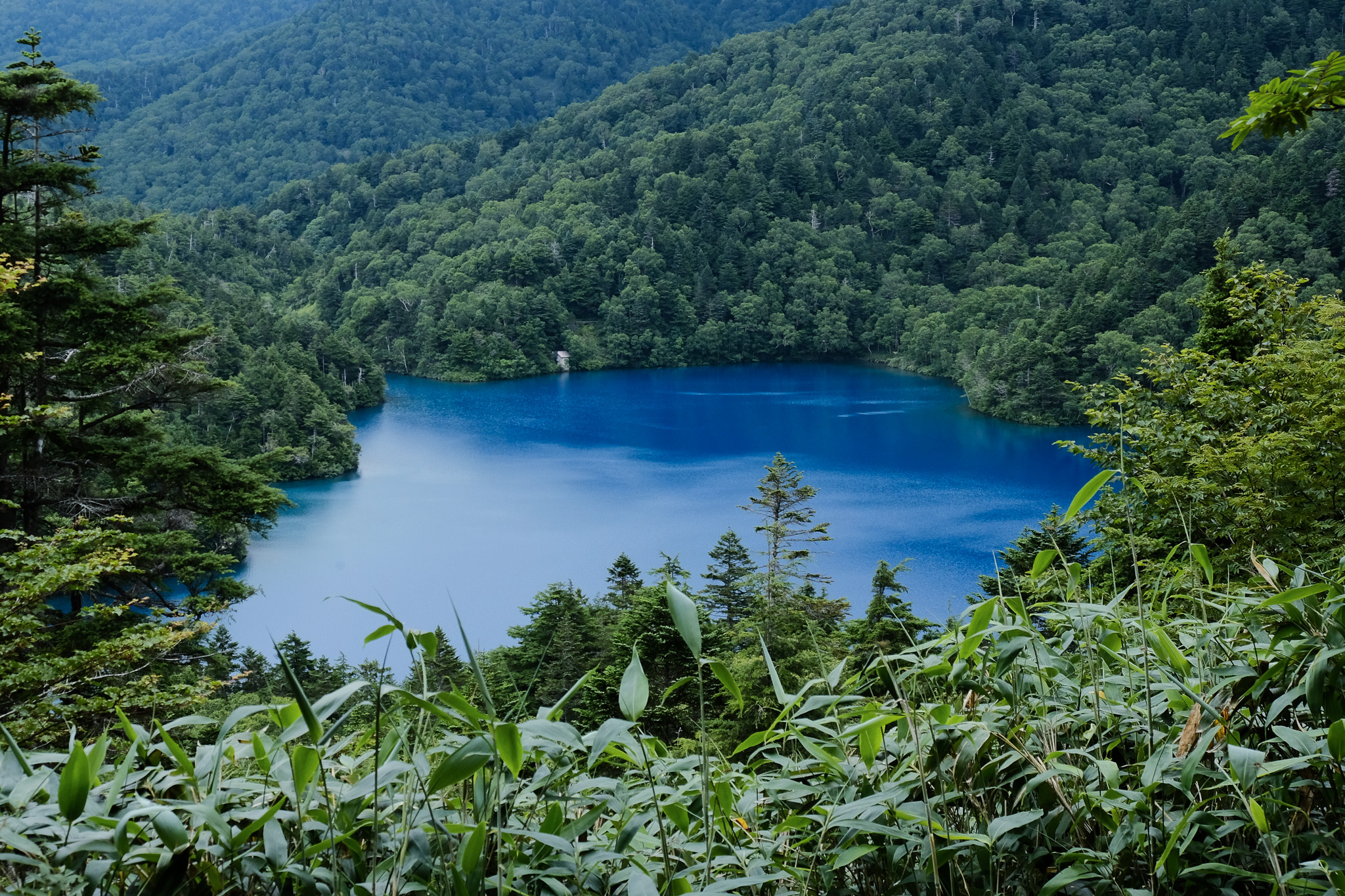
Ikemeguri trail, which means “ponds-hopping tour”, is the most iconic and popular trail in Shiga Kogen. (By the way, did you know that there are 18 trails in total in Shiga Kogen?)
The total distance is approximately 9.6 km, it takes around 3.5 hours to complete, and the elevation gain is about 360 meters.
This is a pleasant walk that’s perfect for beginners, families, or anyone looking to enjoy the natural beauty of Shiga Kogen. Highlights of the trail include the vibrant Onuma-ike Pond and the Shijuhachi-ike Wetland, home to over forty-eight small ponds.
The trail is well-maintained and easy to walk, even for beginners. However, there are some ups and downs along the way, and since you’ll be walking through the forest, please make sure to wear appropriate clothing and footwear for hiking.
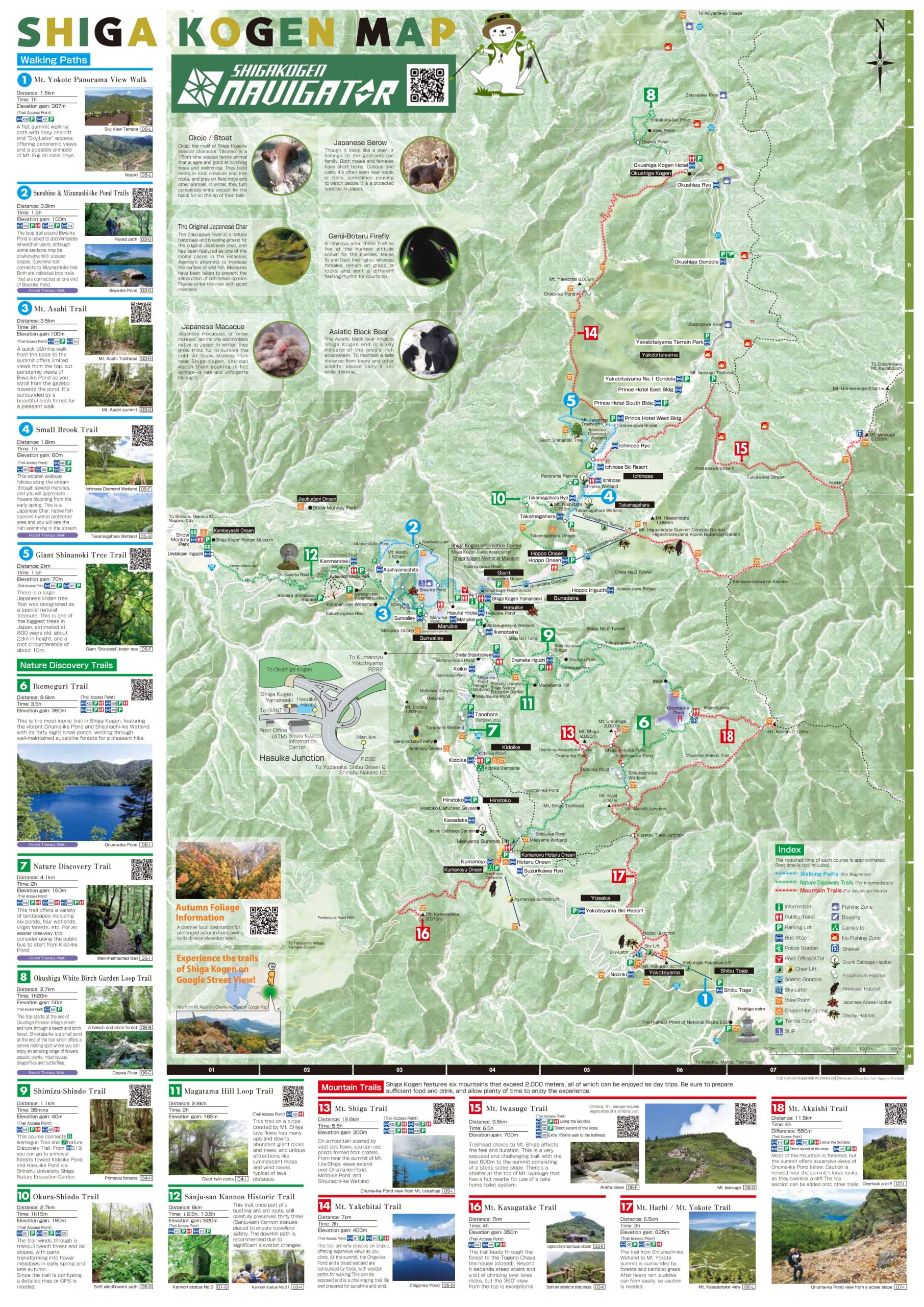
Trail Map
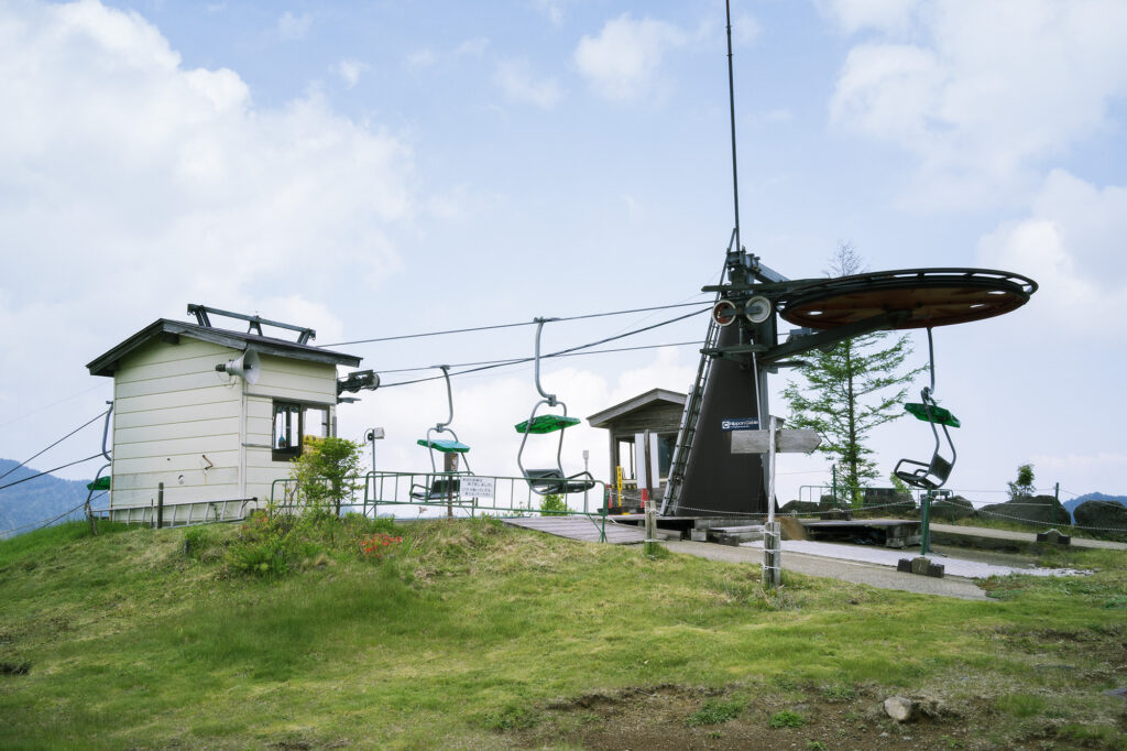
This trail is one-way, and can be started either from the Maeyama Summer Lift in Suzurikawa (getting off the bus at Hotaru Onsen Bus stop) or from the Onumaike Iriguchi (which means Onuma-ike pond Entrance) bus stop.
If you start from the Maeyama Summer Lift by using the lift, the trail is mostly flat or downhill, with some short uphill sections.
However, if you start from the Onumaike Iriguchi Entrance, you will face a steady uphill climb between Onuma-ike Pond and the Shijuhachi-ike Wetland.
12 July – 17 August 2025: Open daily, 8:45 – 16:00
18 August – 19 October 2025: Open on weekends, holidays, and by reservation only, 8:45 – 12:00
One-way fare: Adults: ¥600 / Children: ¥400
Note: On days when the lift is not operating, you can still reach the summit of Mt. Maeyama by hiking up the slope from the right side of the parking lot, which takes extra 20 min.
Maeyama summer lift
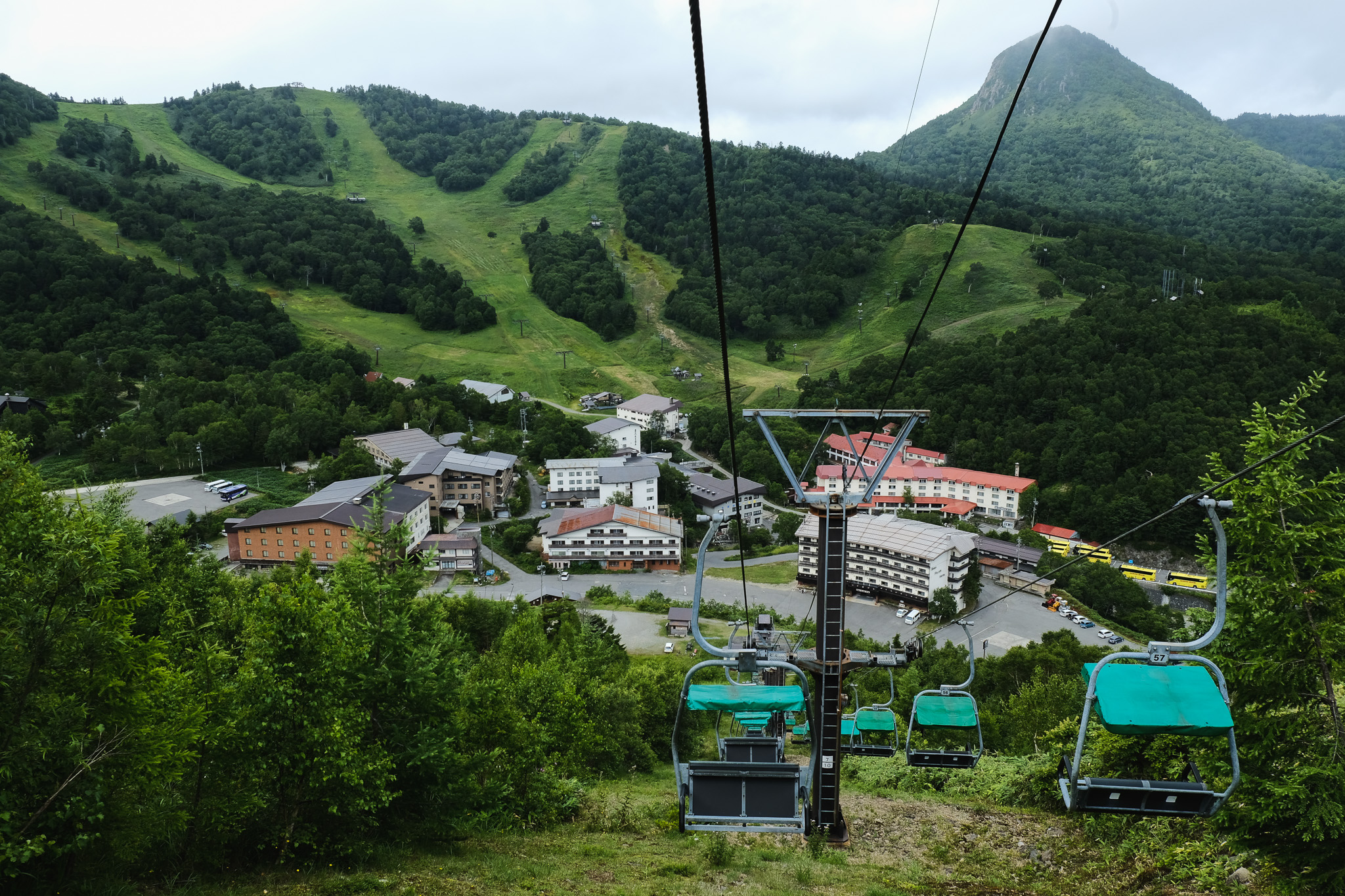
The fine view of Kumanoyu Ski Area welcomes you from Maeyama lift
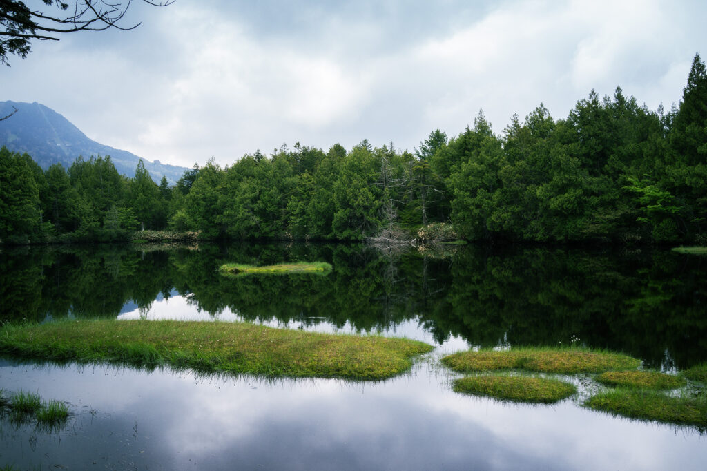
Tranquil Shibu-ike Pond
This pond was created by volcanic activity and there are several “floating islands”. Carnivorous plants called “Mousen-goke” mosses grow in clusters, and Japanese stone pines, which have been growing there since the Ice Age, still surround the pond.
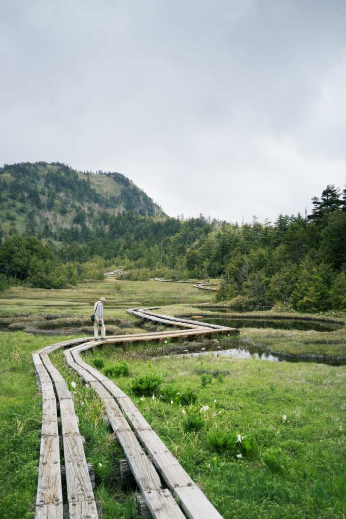
Shijuhachi-ike Wetland
Shijuhachi-ike Wetland is the one of highlights of this trail. As you walk along the wooden path across the wetland, you can observe many marsh plants and Japanese black salamanders living in the ponds.
After 60 mins walk from Shijuhachi-ike Wetland, you finally reach to the beautiful blue Onuma-ike Pond, the biggest pond in Shiga Kogen. This photogenic deep blue pond attracts many hikers and photographers.
*There are restrooms at Shijuhachi-ike Wetland (no hand wash water basins available) and the Rest house Emerald Onuma (only restrooms are available).
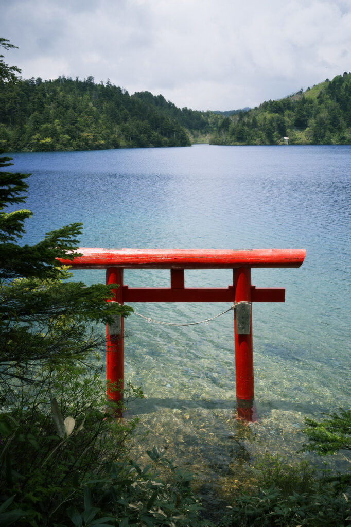
Torii gate of the Daija Shinto Shrine
On the trail from Shijuhachi-ike to Onuma-ike Pond, there is a small sign along the way, just before you reach the pond, pointing to a narrow path that leads toward the pond. Following this path, you’ll find a small shrine, and from there, you can see a torii gate standing in the water.
*Please refrain from entering the lake.
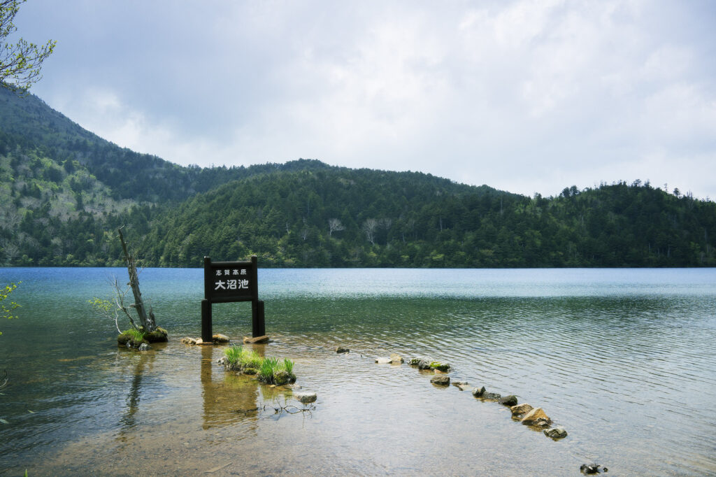
At Onuma-ike Pond lakeside
The colour of Onuma-ike Pond changes depending on sunlight and the minerals dissolved in the water, which come from volcanic activity in the area. This creates vivid shades of blue and green that shift with the weather and time of day.
Due to its status as a strictly protected area, swimming in Onuma-ike Pond is not permitted.
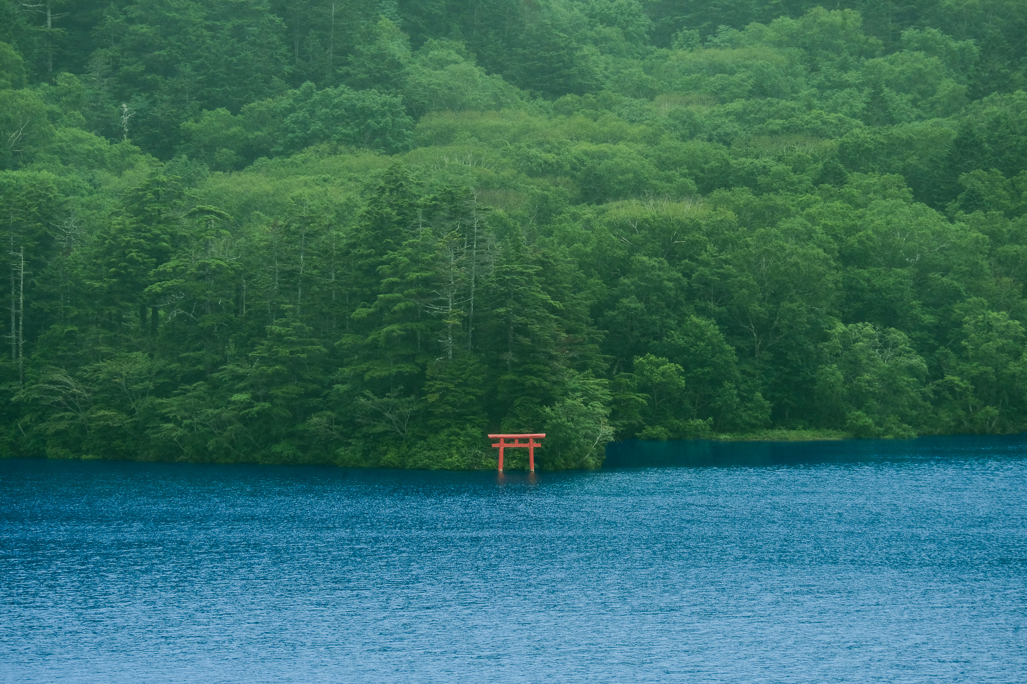
From view spot at Onuma-ike Pond
The contrast between the red of the Daija shrine’s torii gate and the blue of Onuma-ike pond is mystic. This is the iconic view of Shiga Kogen that you cannot miss!
After taking your time to enjoy the area around Onuma-ike Pond, you’re one step away from the goal. From the pond, it’s about an hour walk along a gravel road to reach the Onuma-ike Iriguchi bus stop.
About 30 minutes in, you’ll come to a fork in the road. If you prefer to stay on the gravel road, simply continue straight. However, we recommend taking the path to the right, which leads into the forest. Breathe deeply and enjoy this final section of the trail through the beautiful old-growth forest!
There are very limited numbers of bus operating during green season, so please check the timetables here before coming.
Shiga Kogen MAP
Digital Map: SHIGA KOGEN NAVIGATOR
We offer a browser-based digital map for your convenience.
It shows real-time operating status of lifts and gondolas during the green season, and if you turn on GPS, you can also check your location on the trail.
Click the banner below to access the map and start exploring!


